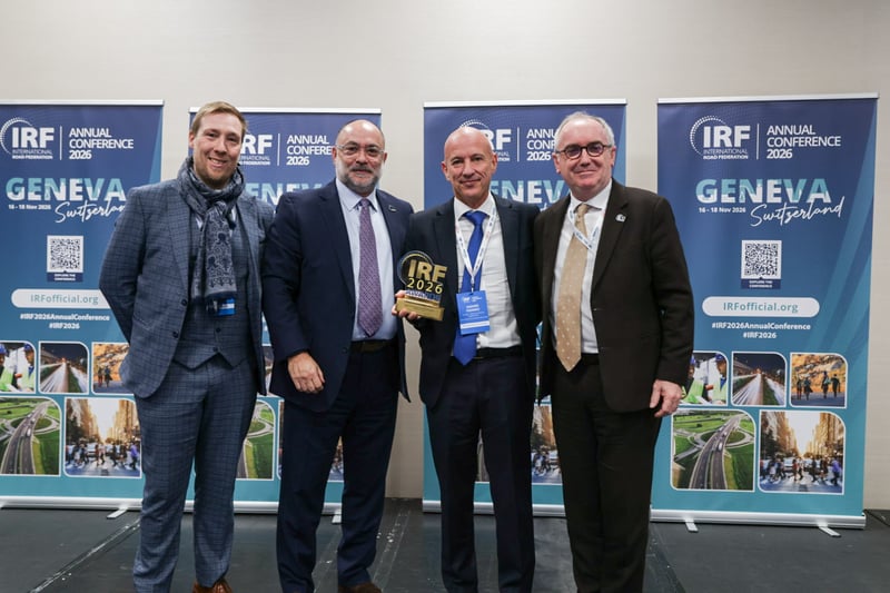
On 18 November 2026, in Geneva, ORIS and AIIB received the IRF Climate Resilience and Adaptation Award. The case study deployed a digital approach to assess a 157 km section of Nepal's Siddhartha Highway, bringing climate risk, adaptation and carbon into one assessment.
The road
AIIB wanted to see how far digitalisation could support its due diligence process, standardisation, and replicability of methodology through a digital platform. From carbon emissions and climate risks to mitigation and adaptation strategies for delivering green-financed projects, ORIS Materials Intelligence deployed its digital and engineering capacities to automate and build systemic, replicable methodology.
The alignment is constrained by difficult geometries and poor riding conditions. A journey takes approximately six to seven hours. Frequent blockages from landslides and accidents reduce reliability further.
How the assessment worked
The model brought together alignment geometry, engineering structures, traffic forecasts, pavement characteristics, local material sources and the project's Bill of Quantities. We combined these datasets with historical climate information, climate projections, geohazard information, and spatial data on population, public facilities, agriculture and industry.
In that common digital environment, climate exposure, infrastructure sensitivity, vulnerability, carbon emissions and socio-economic criticality are assessed against the same project representation. That shows where the road is exposed and which parts of it are most sensitive. We also assessed what could happen if the road were disrupted, and where adaptation measures would have the greatest value.
What the assessment found
Resilience. We identified six hazards at high or extreme risk, including heavy precipitation, rainfall-triggered flooding, landslides, heat and wildfire. We used those findings to develop and prioritise practical adaptation measures for the highway.
Carbon. We looked at the full life of the road. A major part of the carbon benefits came from the choice of alignment itself. The existing corridor is around 170 kilometres. Several alternative alignments were assessed to improve the road geometry and reduce the distance. The option considered for the case study is around 113 kilometres, combining upgraded road sections with tunnels, bridges and viaducts.
The proposed alignment has a higher carbon footprint upfront, during construction. Over time, the shorter route and improved geometry could reduce traffic emissions and maintenance requirements. Over 20 years, it was estimated to avoid around 1.8 million tons of carbon equivalent compared with the business-as-usual scenario.
Thank you
Thank you to AIIB, the IRF, the jury, all the nominees and awardees for their outstanding projects, and to Hugo Pley-Leclercq and the whole ORIS team who delivered the work.
Our next step is the same: help financiers and road owners measure, plan, and adapt with digital and engineering capacities, and a systemic, replicable methodology.